- Description
- Specifications
- Shipping
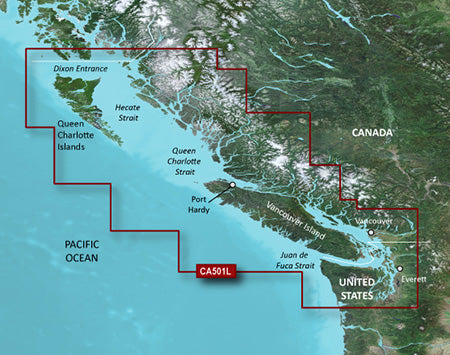
Premier Coastal Charts
BlueChart g3 Vision coastal charts deliver industry-leading coverage, clarity, and detail with integrated Garmin and Navionics content.
-
Auto Guidance¹ quickly calculates a suggested route using your desired depth and overhead clearance
-
Depth Range Shading supports up to 10 depth ranges, making it easy to view your target depth at a glance
-
Up to 30 cm (1 ft) contours provide highly accurate depictions of bottom structure for improved fishing and navigation
-
Shallow Water Shading highlights user-defined depths to clearly show areas to avoid
Auto Guidance
Whether fishing or cruising, simply select a destination and view a suggested route that shows the general path and nearby obstructions at a safe depth¹.
Experience unparalleled coverage and brilliant detail every time you’re on the water with BlueChart g3 Vision coastal charts.