- Description
- Specifications
- Shipping
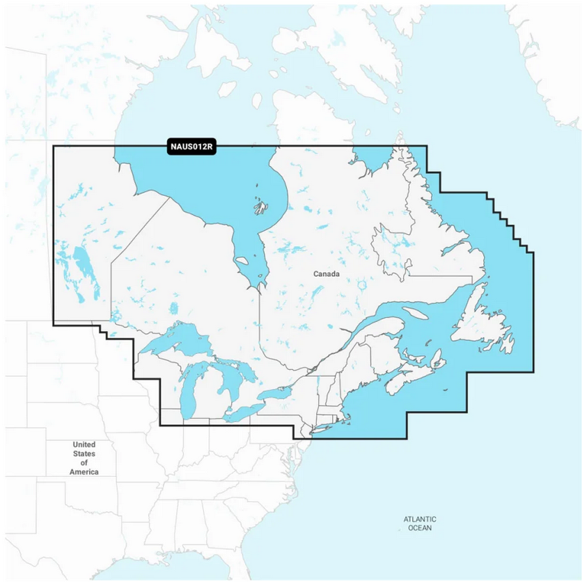
INTEGRATED MAPPING FOR A WIDE RANGE OF CHARTPLOTTERS
A comprehensive, all-in-one solution, Navionics+ charts, and maps combine clear, reliable coastal/inland content with advanced guidance features and compatibility with a wide range of chartplotter brands.
FEATURES:
All-In-One Map SolutionDaily Chart UpdatesDock-To-Dock Route GuidanceUp to 1' ContoursAdvanced Map OptionsCommunity EditsPlotter SyncSonarChart Live Mapping...and more!