- Description
- Specifications
- Shipping
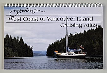
This cruising atlas is an invaluable planning & navigating tool for exploring the rugged beauty of the west coast of Vancouver Island. Reproductions of Canadian Hydrographic Service charts cover from Victoria to Barkley Sound to Cape Scott to Hope Island. The atlas provides the boater with 21 overview charts, 85 detailed charts, and includes a useful index with a locator chart for 200 locations.